Topographic Surveys
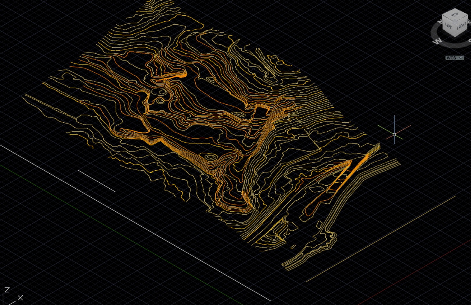
We are able to carry out topographic surveys, capture and deliver accurate Survey Data. We use the latest survey technology to ensure the data is precise and is captured efficiently.
We produce topographic mapping to accurately determine, ground relief, provide contour mapping, and map the location of natural and man made features across construction and 'for development' sites.
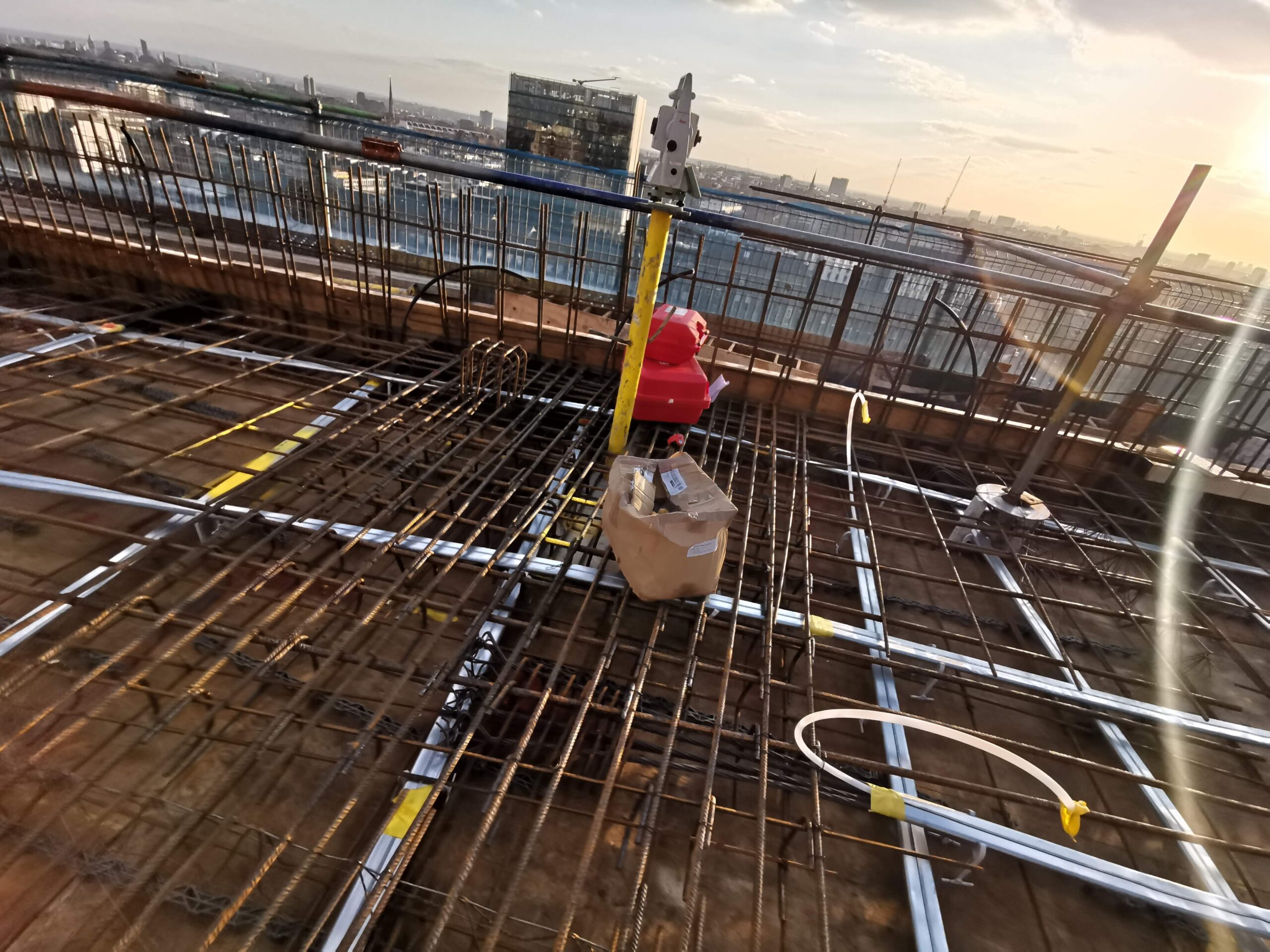
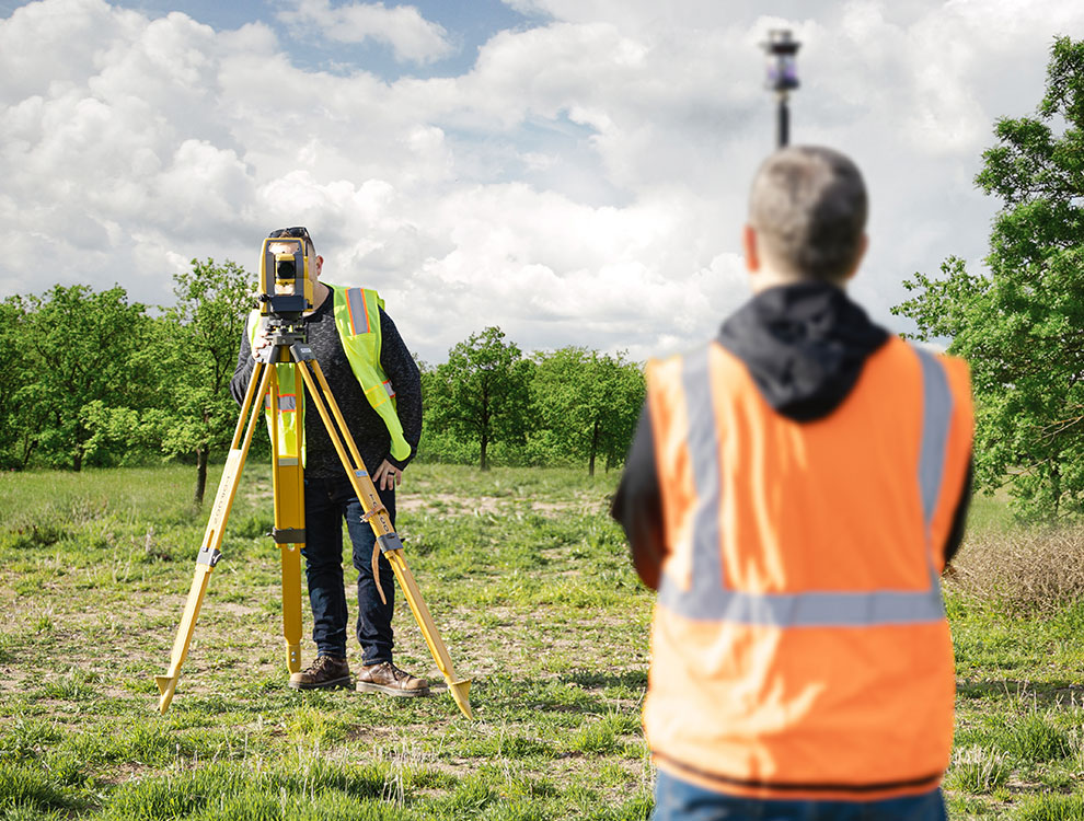
We use integrated Topcon GNSS GPS, and Robotic Total Stations to capture Survey Data in two or two axis.
Land Boundary Surveys
We can provide a boundary setting and surveying service, to assist in legal mapping and the resolution of legal property conflicts.
We will support clients in working with the information available from Land Registry information to comprehensively conduct the survey or set out task.
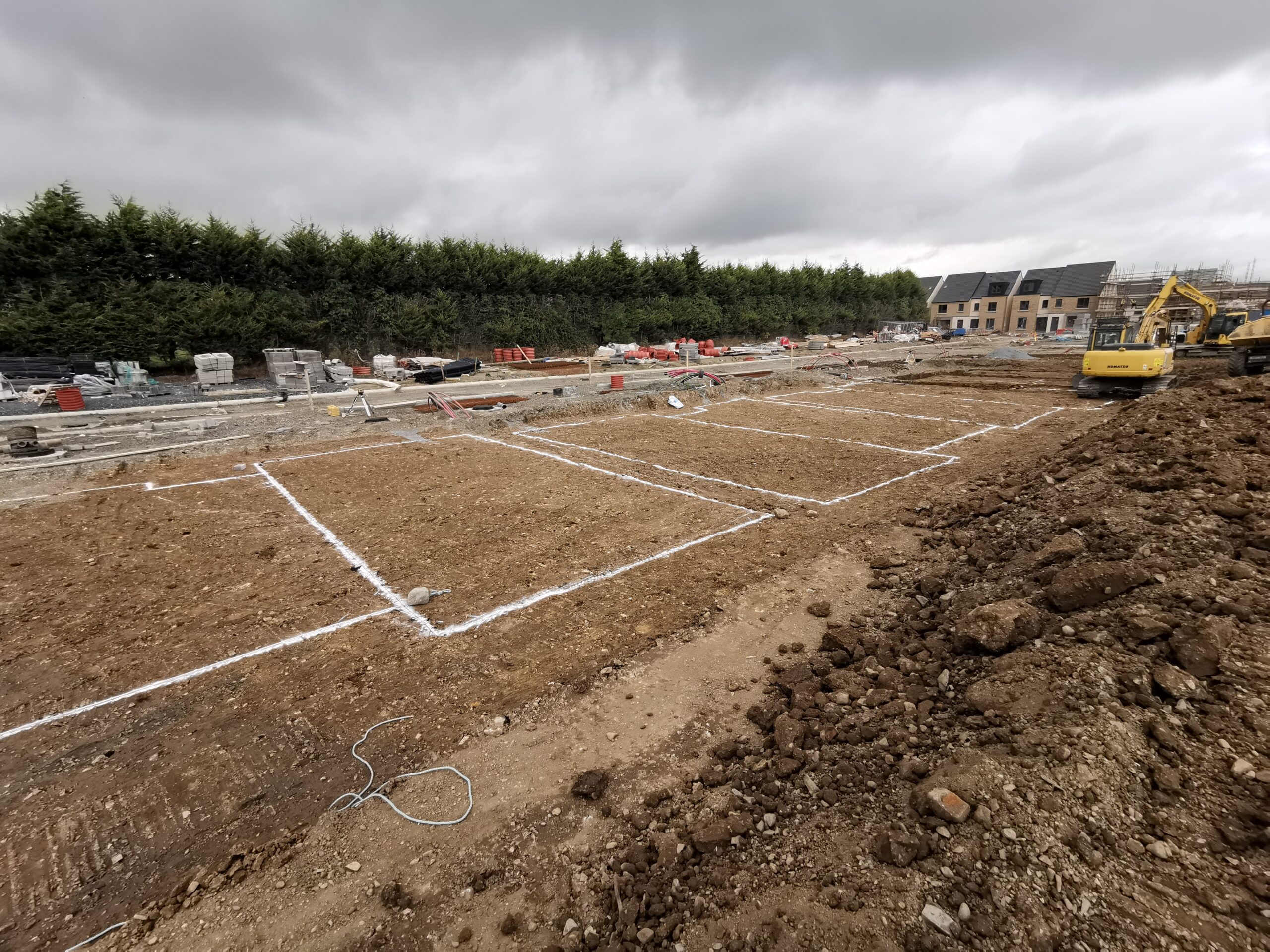
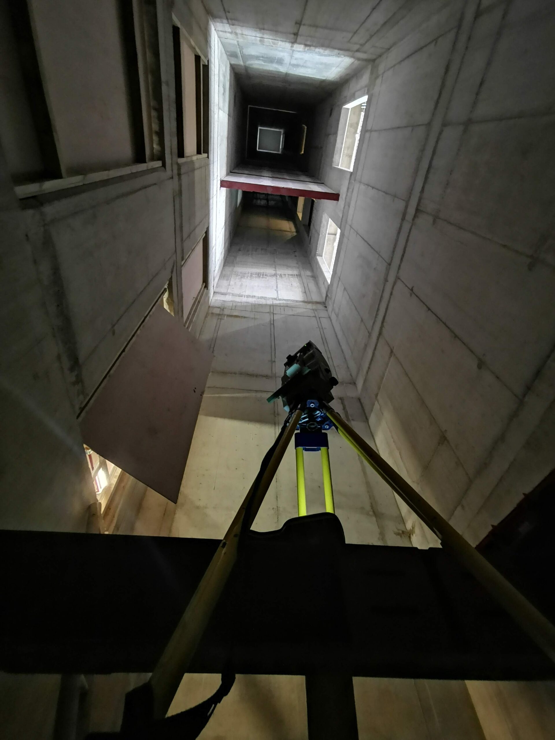
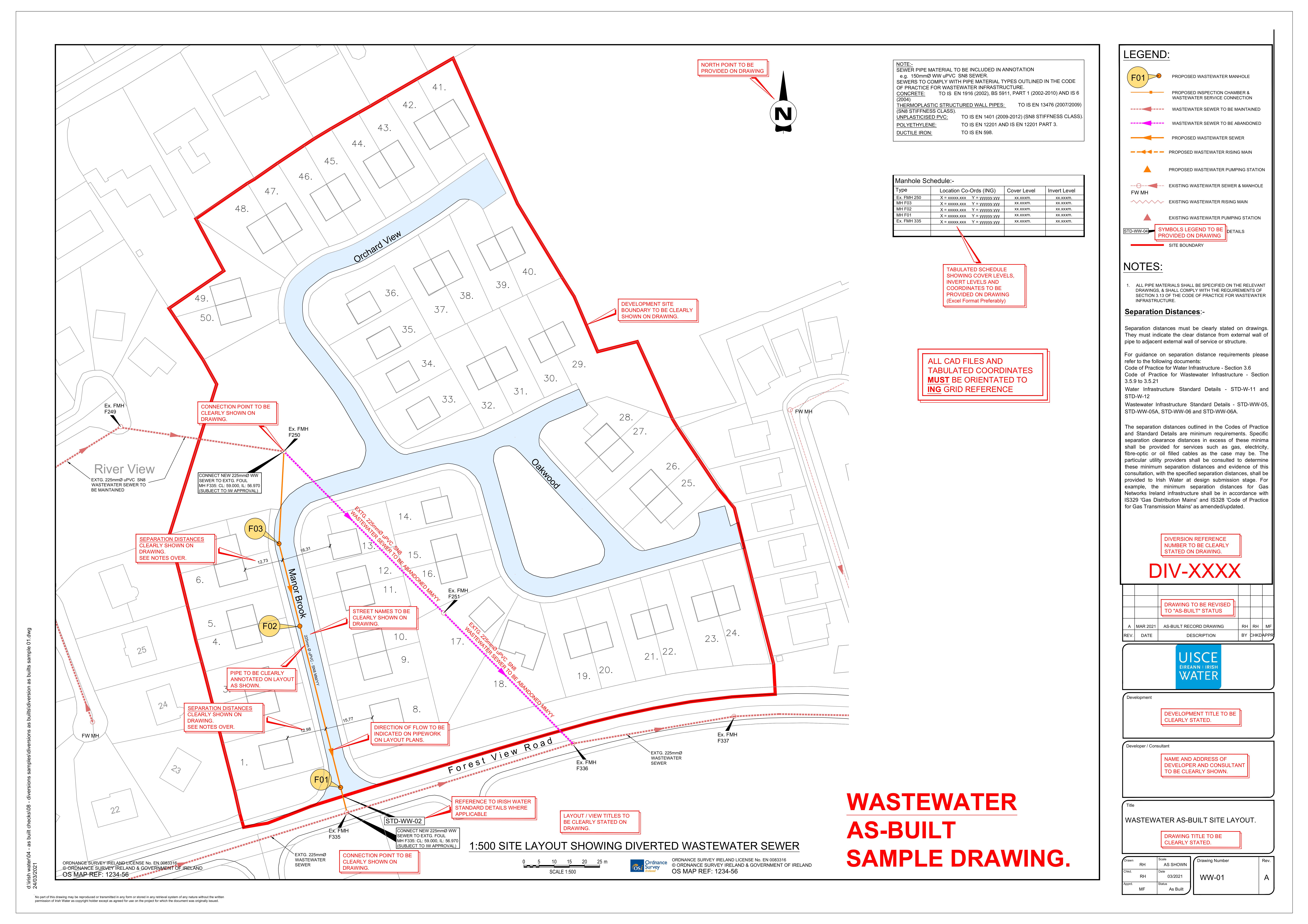
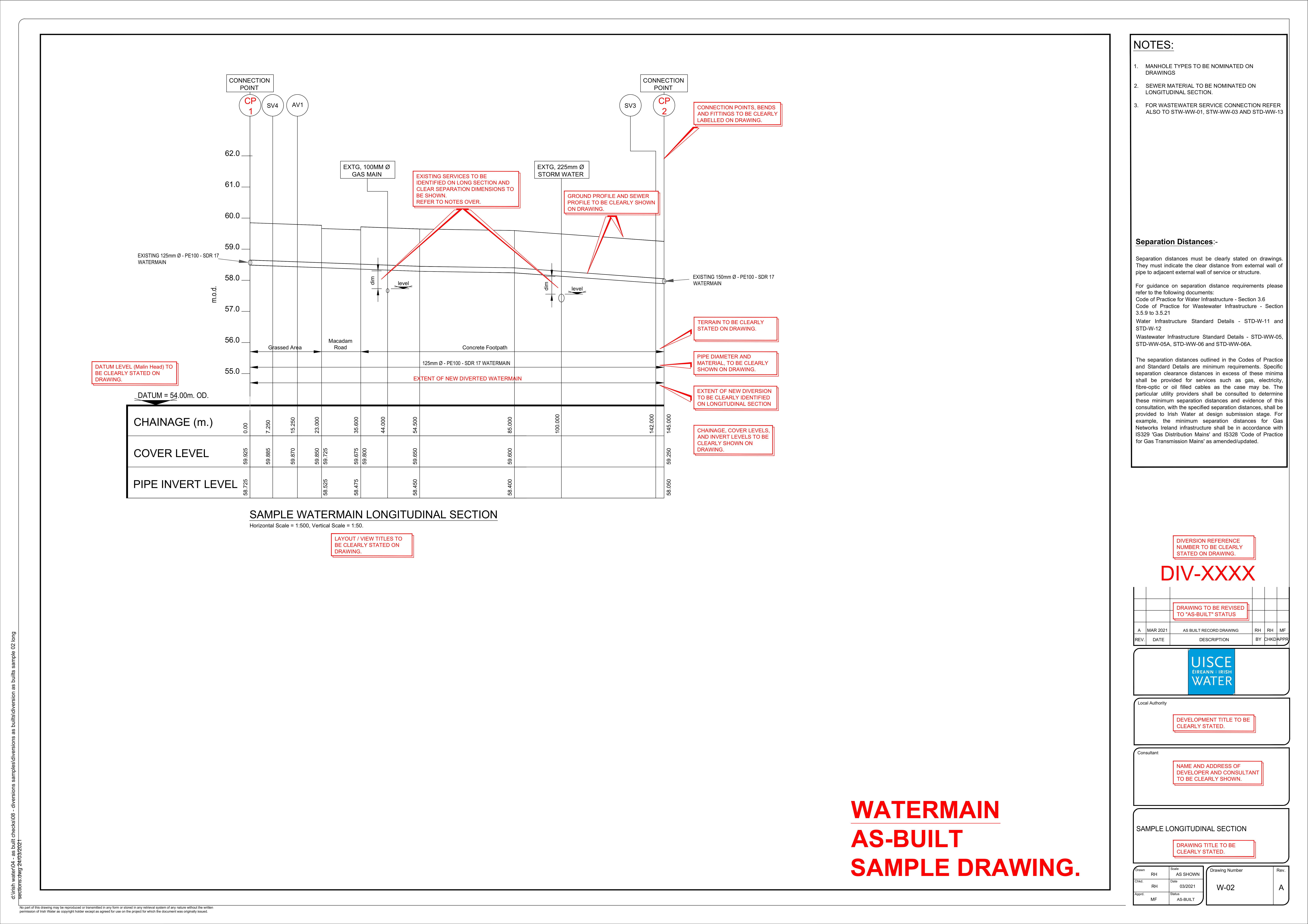
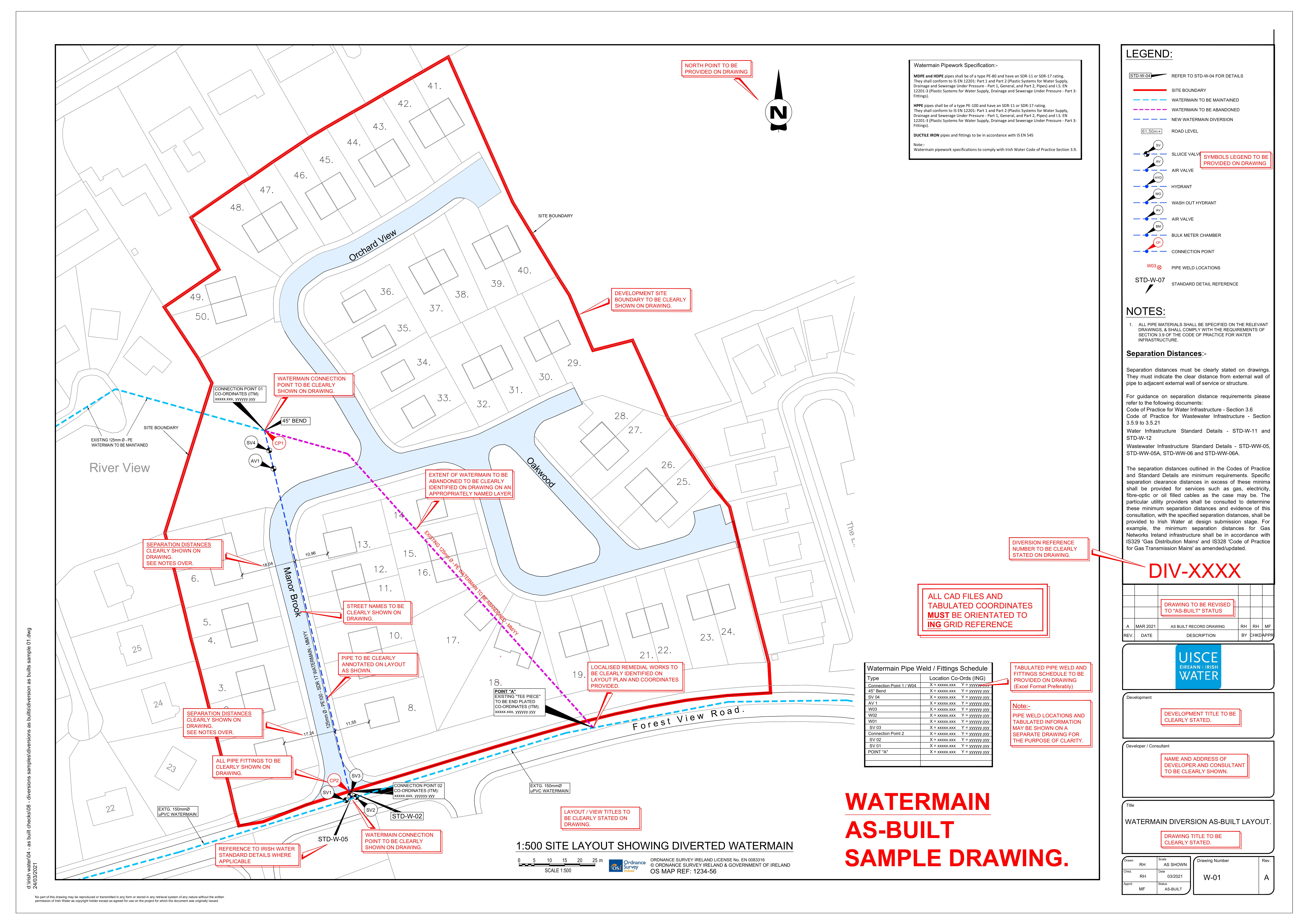
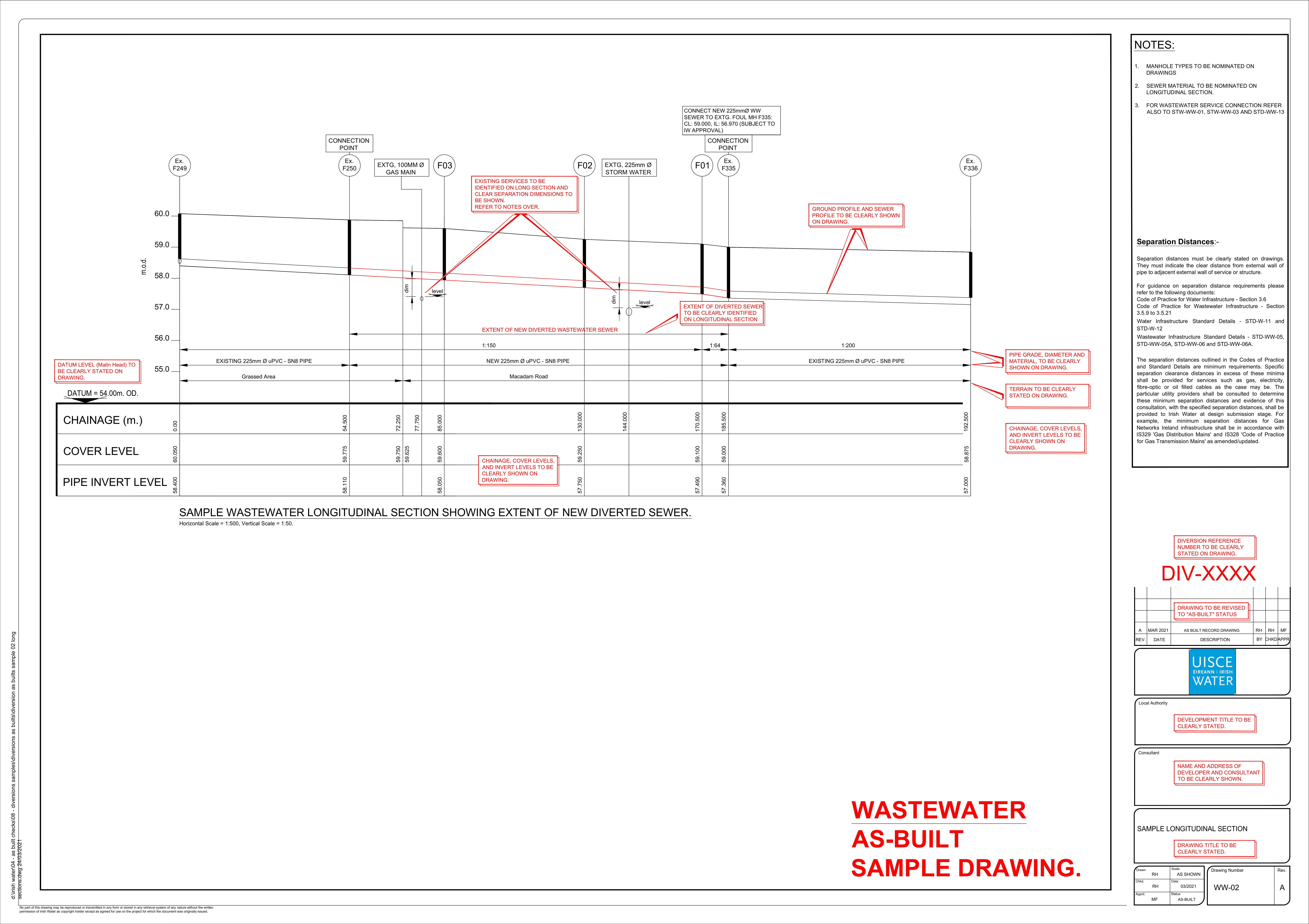
Land Surveying and Setting Out Services for Construction and Civil Engineering, Professional Construction Engineering Setting Out, Land Surveying, Private Land Boundary Stake Out and Surveying, Ordinance Survey, Construction As-Built Surveys, Irish Water As-Built Surveying and Submission.
Browse
Contact
Call: +44 (0) 7743 068 023
Email: info@precision-point.co.uk
Address: Newry, County Down, Northern Ireland.


